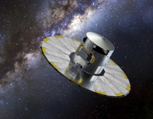
Gaia is a mission of the ESA scientific programme, aimed at obtaining a three-dimensional map of our galaxy by showing its composition, formation and evolution.

The launch was carried out on December 19th, 2013, with the Soyuz-Fregat vector, the orbit occupied by the satellite is that around L2.

Gaia is directly manufactured by the ESA, also for the scientific instrumentation part which consists of two telescopes with different field sights and a common focal plane, a set of mirrors and more than a hundred CCDs, corresponding to almost one billion pixels.

The mission will continuously scan the entire sky, by taking advantage of the rotation and precession motions of the satellite: every area of the sky is observed about seventy times during the operational life of the satellite. The participation of the European scientific community to the mission involves the responsibility to reduce the huge amount of data that will be produced by the mission. Such task is carried out by the Data Processing and Analysis Consortium (DPAC), the consortium of European research institutes created by the European scientists in response to an Announcement of Opportunity by the ESA.

Gaia is obtaining astrometric data related to over one billion stars, with a two hundred-times higher accuracy than Hipparcos, and astrophysical information on the luminosity of the different spectral bands that will allow to study in detail the formation, dynamics, chemistry and evolution of our galaxy.

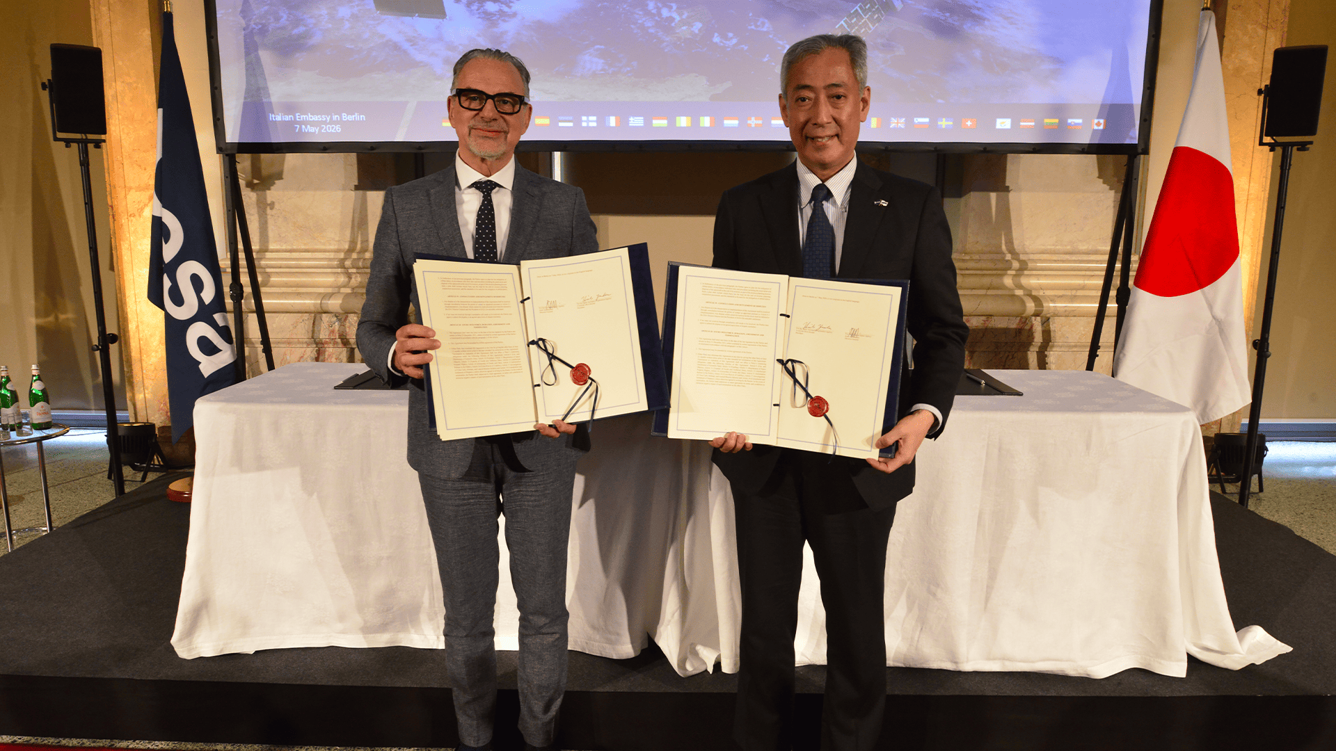
The Italian contribution to the DPAC is significant (second only to the French contribution) and involves, in particular, taking part in the definition and implementation of the analysis and data calibration pipelines and the presence on the Italian territory of one of the six expected Data Processing Centers (DPCs).

The Gaia mission falls within the framework of the ESA Scientific Programme, to which Italy contributes about 13%.

‣ News

WEDNESDAY 15 JANUARY 2025

The effect if the wildfire in California observed by PRISMA satellite ‣

PRISMA maps the Palisades area

MORE...

FRIDAY 20 DECEMBER 2024

COSMO-SkyMed carried out radar acquisitions to analyse tanker collision in the Black Sea ‣

On Sunday 15th December, bad weather conditions led to an accident involving two oil tankers, resulting in an oil spill in the Kerch Strait. Through COSMO-SkyMed satellites by Agenzia Spaziale Italiana and Ministero della Difesa, e-GEOS carried out Radar acquisitions to analyse the area affected by the possible presence of spills from tankers. In the following image, processed via the e-GEOS SEonSE application platform for maritime domain monitoring, the positions and characteristics of the identified oil spills are highlighted. Photo credit:  Black Sea. COSMO-SkyMed Image © ASI. Processed and distributed by e-GEOS                 Image details: COSMO-SkyMed ORDER ID =  3186470 e-GEOS ORDER NUMBER = 24F29157-15 AREA NAME = Feasibility_MN_CSK Product Number 1 ACQUISITION MODE =  STR_HIMAGE ORBIT PASS =  ASCENDING LOOKING MODE =  RIGHT PROCESSING LEVEL =  DGM_B ACQUISITION START TIME =  2024-12-19 02:57:22.528192 ACQUISITION STOP TIME =  2024-12-19 02:57:29.233727 SATELLITE =  SAR1 PRODUCT_FILE_NAME = CSKS1_DGM_B_HI_0A_VV_RA_FF_20241219025723_20241219025729.h5

WEDNESDAY 13 NOVEMBER 2024

Memorandum of Understanding signed between ASI and the Commissioner General’s Office for Italy at Expo 2025 Osaka ‣

The protocol is intended to promote national excellence in technologies applied to the space and aerospace industries MORE...

TUESDAY 12 NOVEMBER 2024

Listening to cochlear sounds to estimate intracranial pressure changes on the ISS ‣

New results from the ASI experiment Acoustic Diagnostics MORE...

TUESDAY 29 OCTOBER 2024

JUICE’s RIME Radar Pings the Moon and Listens to Earth ‣

ESA’s Jupiter Icy Moons Explorer, Juice, launched the 14th April 2023, will make detailed observations of the giant gas planet and its three moons – Ganymede, Callisto and Europa – with a suite of the state-of-the-art instruments MORE...