LAGEOS-2 (LAser GEOdynamics Satellite-2) is a joint mission between the Italian Space Agency and the NASA, which started in 1992 and is the successor of LAGEOS-1, a NASA-only mission which was launched on May 4th, 1976. The underlying technology of both satellites allowed to measure the movement of the Earth’s tectonic plates, the irregularities in the rotation of the planet and to monitor small movements in its center of mass.
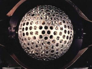
LAGEOS-1 presents itself as a sphere (with a 60 cm-diameter), is covered with 426 reflecting prisms and weighs 406 kg. It’s a passive satellite (which means it doesn’t have either on-board sensors or moving parts) and allow to reflect any incident light towards the same direction of origin: the sphere travels at an altitude of 5.860 km from Earth, in a stable circular orbit. At such altitude, the satellite is less impacted by atmospheric resistance and can be monitored by ground-based stations located in different continents.
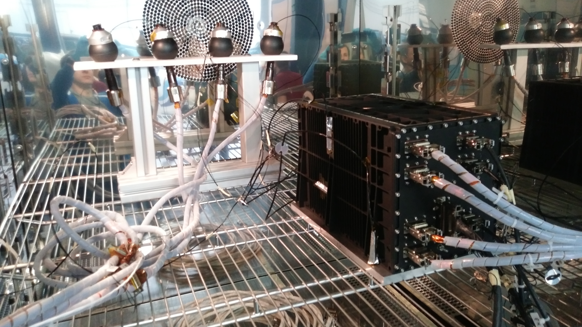
With the laser ranging technique used by LAGEOS-1, it is possible to measure its position and altitude through the ground-based stations. These structures send laser pulses towards the satellite and the distance between the satellite and the station can be determined by measuring the time needed by the light pulses to return to Earth; the satellite’s position and orbit can be determined by carrying out these measurements with more ground-based stations and using triangulation.
LAGEOS-2 is based on the same principles and has the same look as its predecessor, with the exception of a slight difference in weight (405 kg). It was launched on October 22nd, 1992, with the STS-52 NASA mission (Shuttle Colombia) and was placed at a 5.620 km-distance from Earth, in a circular orbit too, but with a different inclination (52,64° compared to the 109,84° of LAGEOS-1). LAGEOS-2’s orbit was chosen to improve the previous satellite’s performance in terms of having a more efficient coverage of the areas characterized by a higher level of seismic activity, such as the Mediterranean basin.
The information collected by both satellites have also been used to assess Einstein’s theory on the spatial-temporal distortion induced by a rotating mass, that is the so-called Lense-Thirring effect, with a 10% accuracy.