Dual system for the observation of Earth
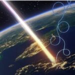
COSMO-SkyMed is the first Earth Observation mission conceived for dual purposes, both civilian and military. Its first- and second-generation satellites are capable of observing the Earth from space day and night, in all weather conditions, providing rapid mapping to support institutions in emergency management during landslides, floods, earthquakes, and wildfires. COSMO-SkyMed, a program of the Italian Space Agency and the Ministry of Defense, consists of a constellation of satellites equipped with Synthetic Aperture Radars (SAR) operating in the X-band, enabling them to see through clouds and in the absence of sunlight.
On January 18th, 2021, COSMO-SkyMed Second Generation (CSG) became operational with the first of four satellites, which supplements the four first-generation satellites. Today the COSMO-SkyMed constellation can boast five in-orbit and operational satellites.
How to request the COSMO-SkyMed data
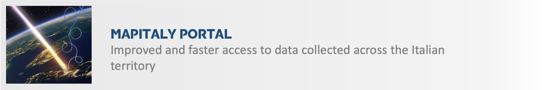
The new COSMO-SkyMed portal for institutional usersUsers can request data from first and second-generation COSMO-SkyMed data through the new COSMO-SkyMed
portal.
The following links are available to create a new user and change the password:
To support users in their use of the new COSMO-SkyMed portal, the Mission and Products Description
and the guide for registration and use have been created.
Further information can be requested at: gestioneutilizzo.cosmo-skymed@asi.it
The e-Geos website for commercial users
Commercial users can request COSMO-SkyMed data through the e-Geos web site.
The MapItaly Plan for acquisitions in Italy
The MapItaly Plan is a program of systematic acquisitions over the Italian territory, carried out by the satellites of the COSMO-SkyMed constellation.
Fotogallery

Guarda la Videogallery
First and second-generation launches
The first satellite of the COSMO-SkyMed constellation was launched on June 7th, 2007, from the U.S. base of Vandenberg, California, from where also the second satellite departed on December 9th of the same year. The third satellite departed on October 25th, 2008. The first-generation system was completed on November 5th, 2010 (November 6th in Italy) with the launch of the fourth and last satellite, still from the U.S. base of Vandenberg, California.
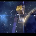
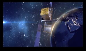
The first COSMO-SkyMed Second Generation satellite, the advanced version of the first system, was launched on December 18th, 2019, and is now operational.
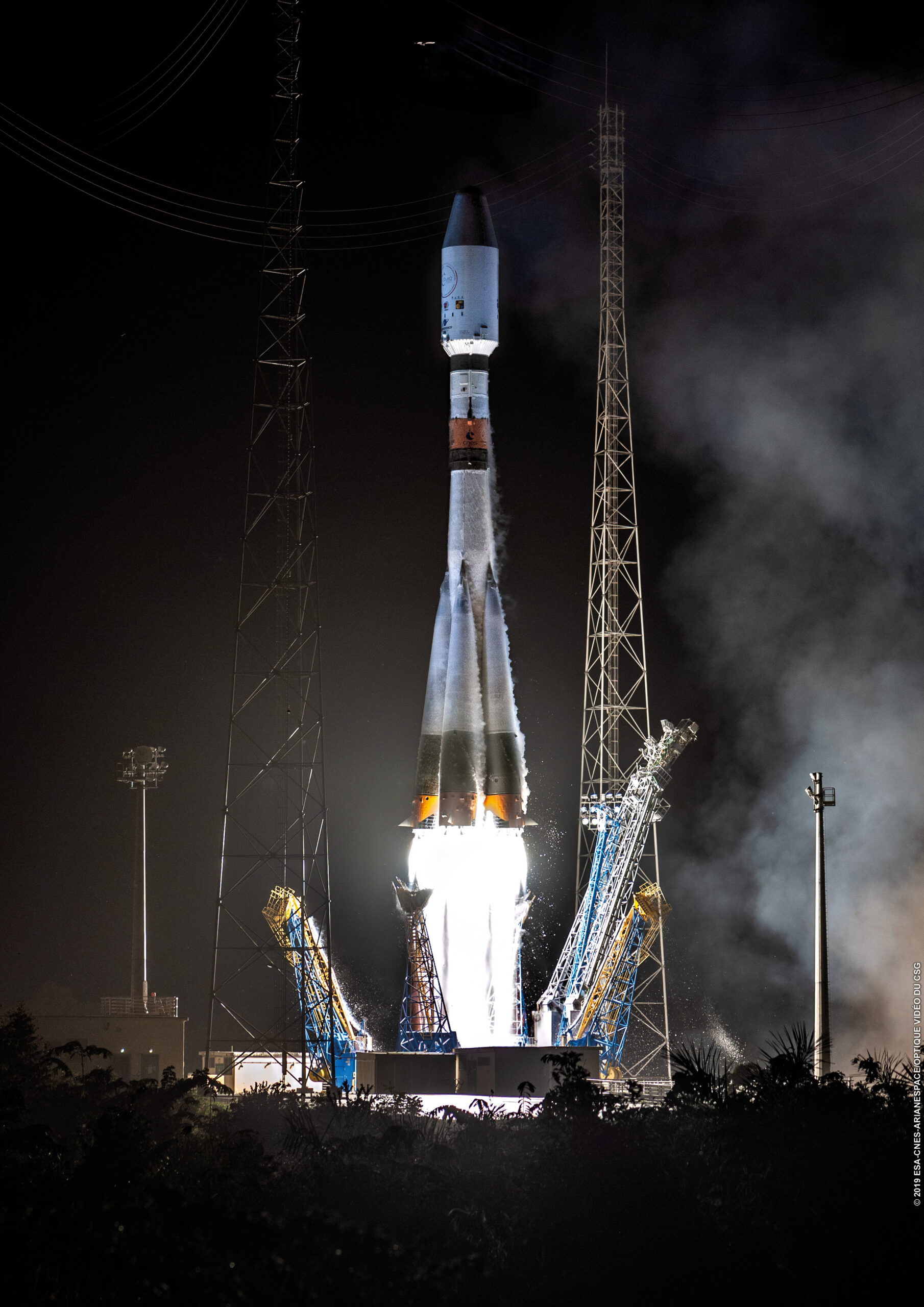
The second COSMO SkyMed Second Generation satellite (CSG-2) was planned to be launched with VEGA-C within 2021, but the launcher development has been impacted by the VV15 and VV17 failures and, above all, by the COVID pandemic. The delays, postponing the VEGA-C Maiden Flight to Q1 2022, with a consequent tight schedule of launches in 2022, made the launch period of CSG-2 no longer compatible with the needs of the COSMO Mission. Since Arianespace backlog was already full on Soyuz and Ariane systems in 2021, it was not possible to have a European back-up solution compliant with the CSG-2 schedule, thus an alternative solution with the US provider SPACE X has been adopted allowing to keep the CSG-2 launch within the current year. In line with its long-lasting support ensured to the European launch industry, ASI confirmed its trust in Arianespace and VEGA-C capabilities by contracting the launch of the CSG-3 satellite, planned for 2024. Moreover, other future launch opportunities for ASI missions with VEGA-C are under discussion, confirming Arianespace as a key partner for the Agency.
The third COSMO-SkyMed Second Generation satellite was launched on January 3, 2026, aboard SpaceX's Falcon 9 launch vehicle from Vandenberg Space Force Base, California.
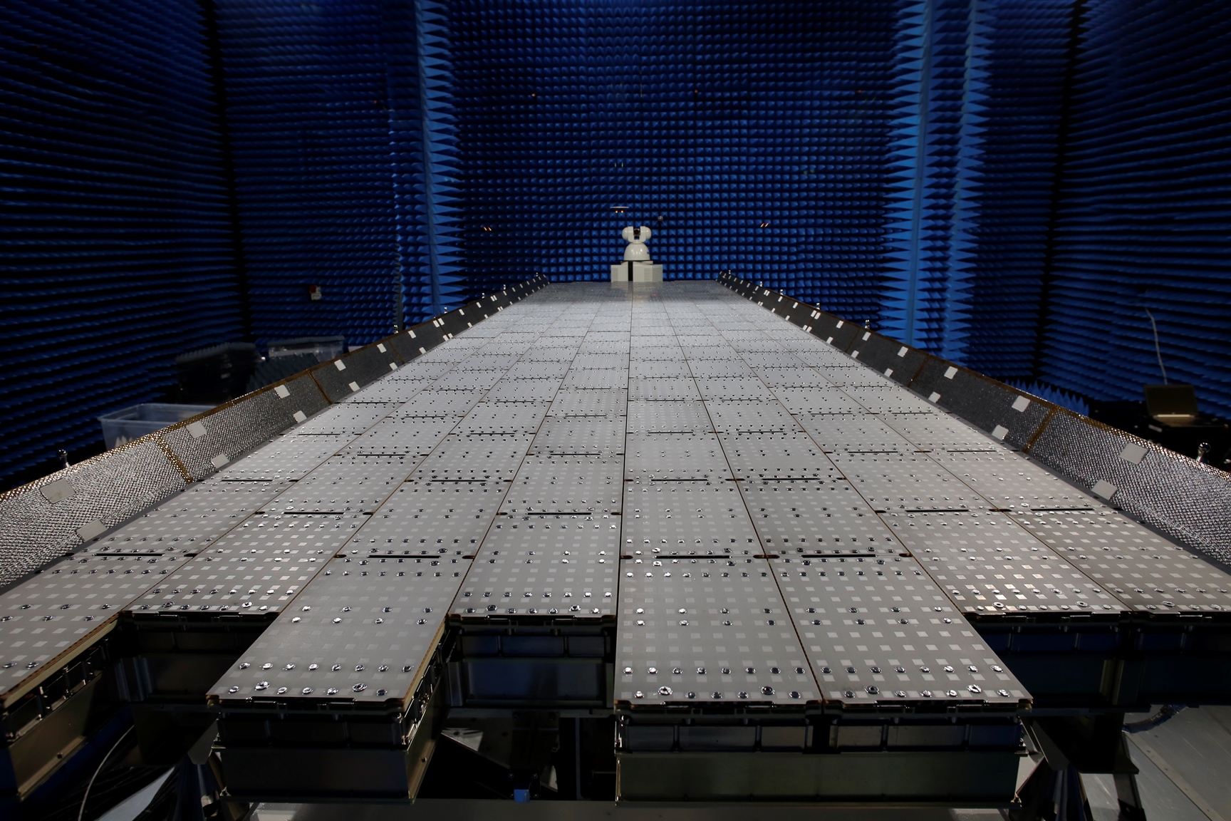
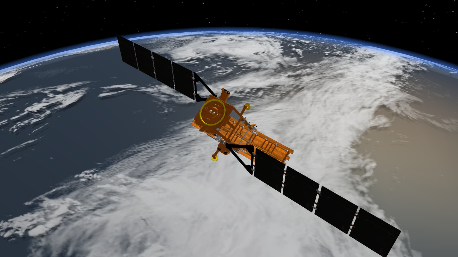
COSMO-SkyMed Second Generation![]()
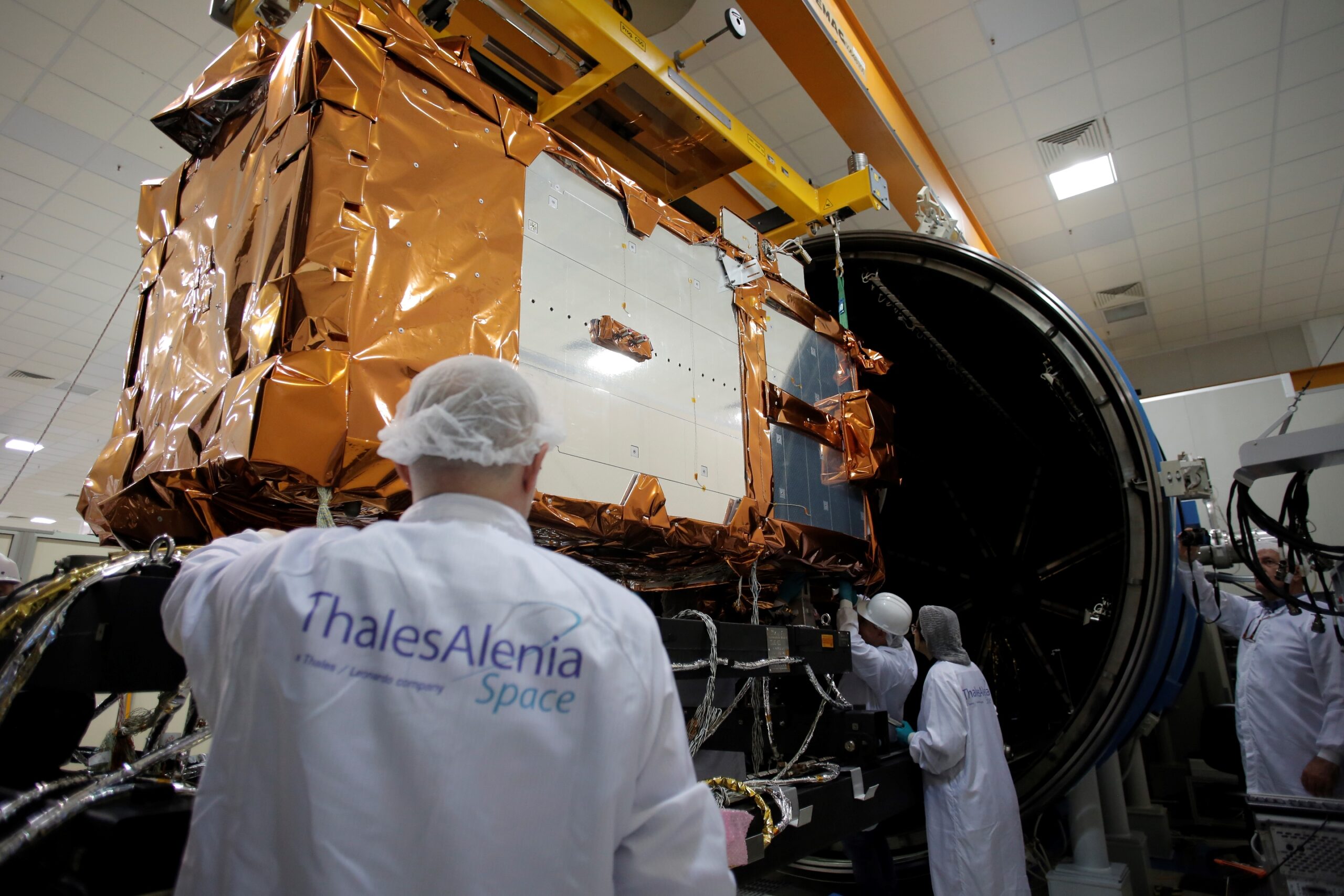
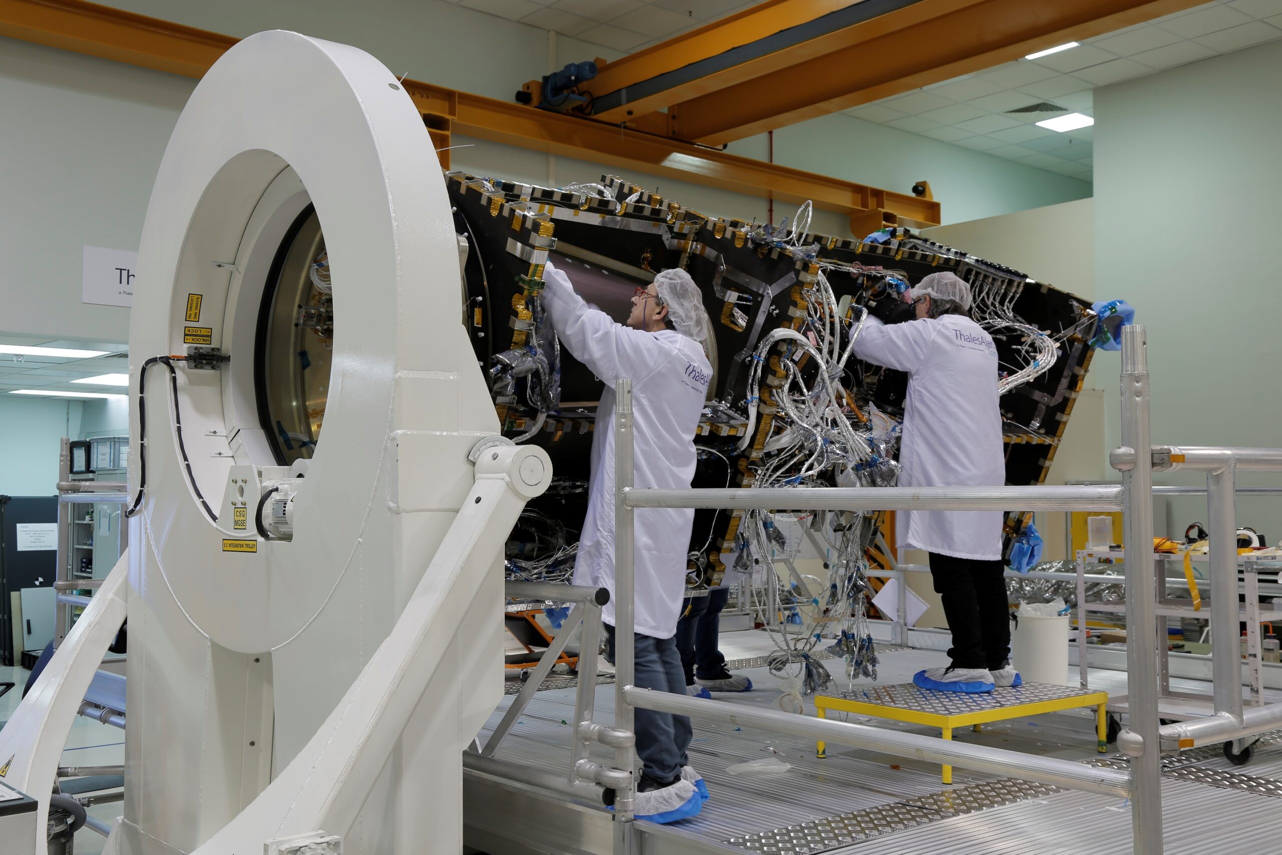
The COSMO-SkyMed Second Generation satellites, same as the first-generation ones, are satellites for Earth observation equipped with state-of-the-art engineering technologies and solutions, which further enhance the Italian leadership in this industry and promote the expansion of international strategic partnerships.
The system configuration has been operational since January 18th, 2021, with the first of four satellites.
The beginning of the operational phase of the CSG system allows to ensure the full operational continuity of the entire COSMO-SkyMed mission, which has been in-orbit for over 10 years, and will increase its overall capabilities.
The CSG’s primary goal is to provide Earth observation services to dual users (both civil and military) through a wide product portfolio, obtained in the different operation modes of the SAR (synthetic aperture radar) sensor, both in the narrow-field mode, with ultra-fine resolution, and in the wide-field mode. Among the different methods of acquisition, there is also one that allows to simultaneously acquire images in quadruple polarization mode.
Today, the CSG system is the state-of-the-art among Earth observation systems based on the radar technology and, thanks to the technological innovations and innovative solutions introduced in the space and Earth components, is capable of guaranteeing significant improvements compared to first-generation satellites (still operational) in terms of performance, quality of images, efficacy of the services provided to civil and governmental users and higher operational life. The high agility of the system, combined with a generational leap in technological terms, allows a significant extension of the possible applications: they include the safety and monitoring of territories and the prevention and analysis of calamitous events due to natural or anthropic causes.
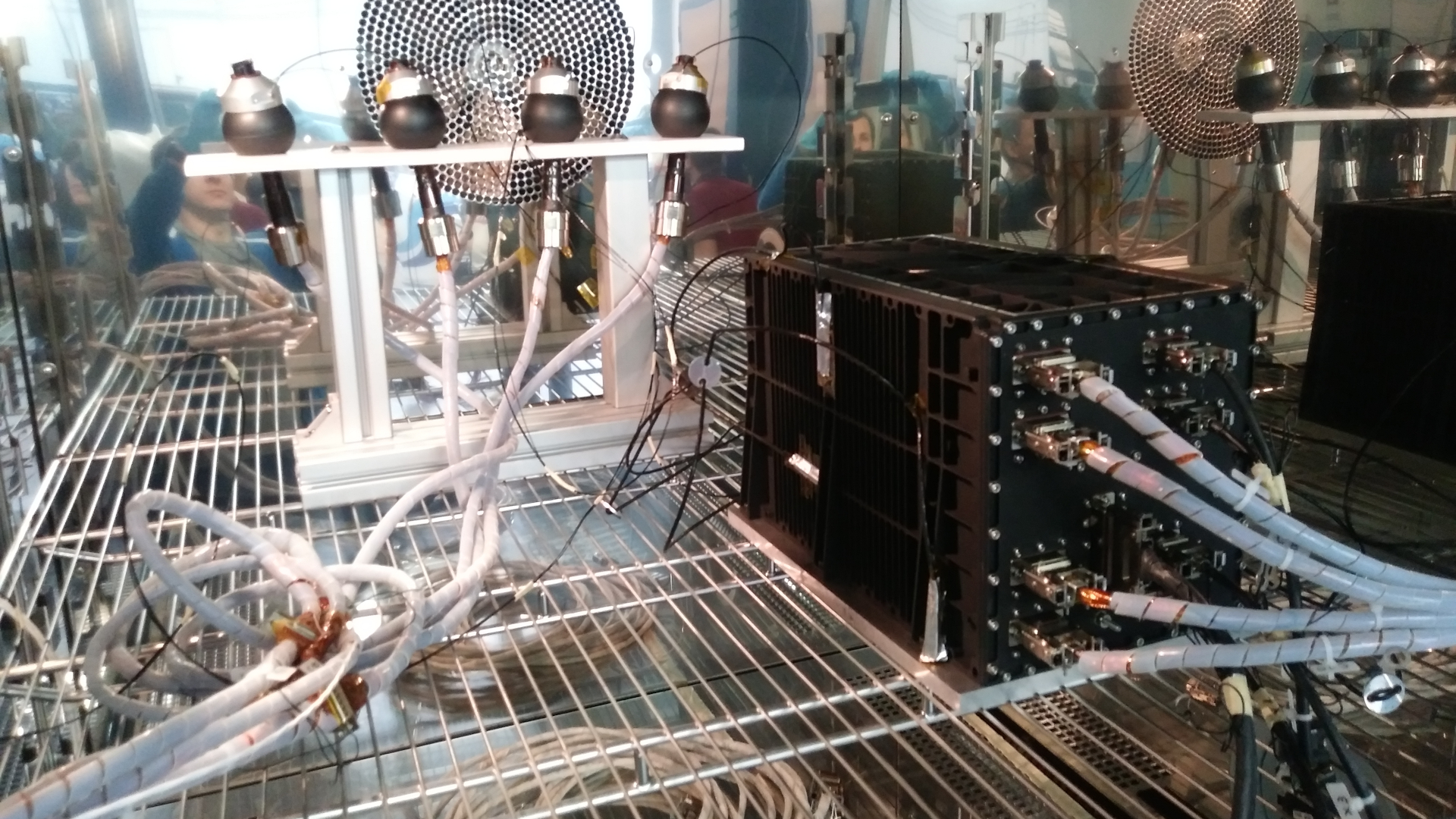
The CSG system was designed for the ASI and the Ministry of Defense in Italy. The national industry, with the Gruppo Leonardo, has provided an essential contribution to the development of this excellence of our country. In particular, Thales Alenia Space, a joint venture between Thales (67%) and Leonardo (33%), is in charge of the manufacturing of the 4 radar satellites and the end-to-end system while Telespazio, a joint venture between Leonardo (67%) and Thales (33%), is in charge of the ground segment, logistics and operations. Furthermore, Leonardo contributes to the programme by providing star sensors for satellite orientation, photovoltaic panels and electronic units for the management of electric power.
e-Geos, a company made up of Telespazio (80%) and ASI (20%), is the ASI’s sole concessionaire for the marketing of COSMO-SkyMed and COSMO-SkyMed Second Generation products and services throughout the world.
Watch the Video COSMO-SkyMed Video
The system
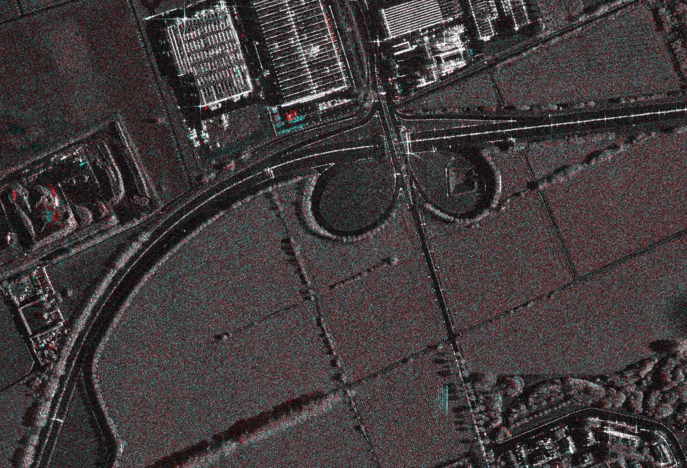
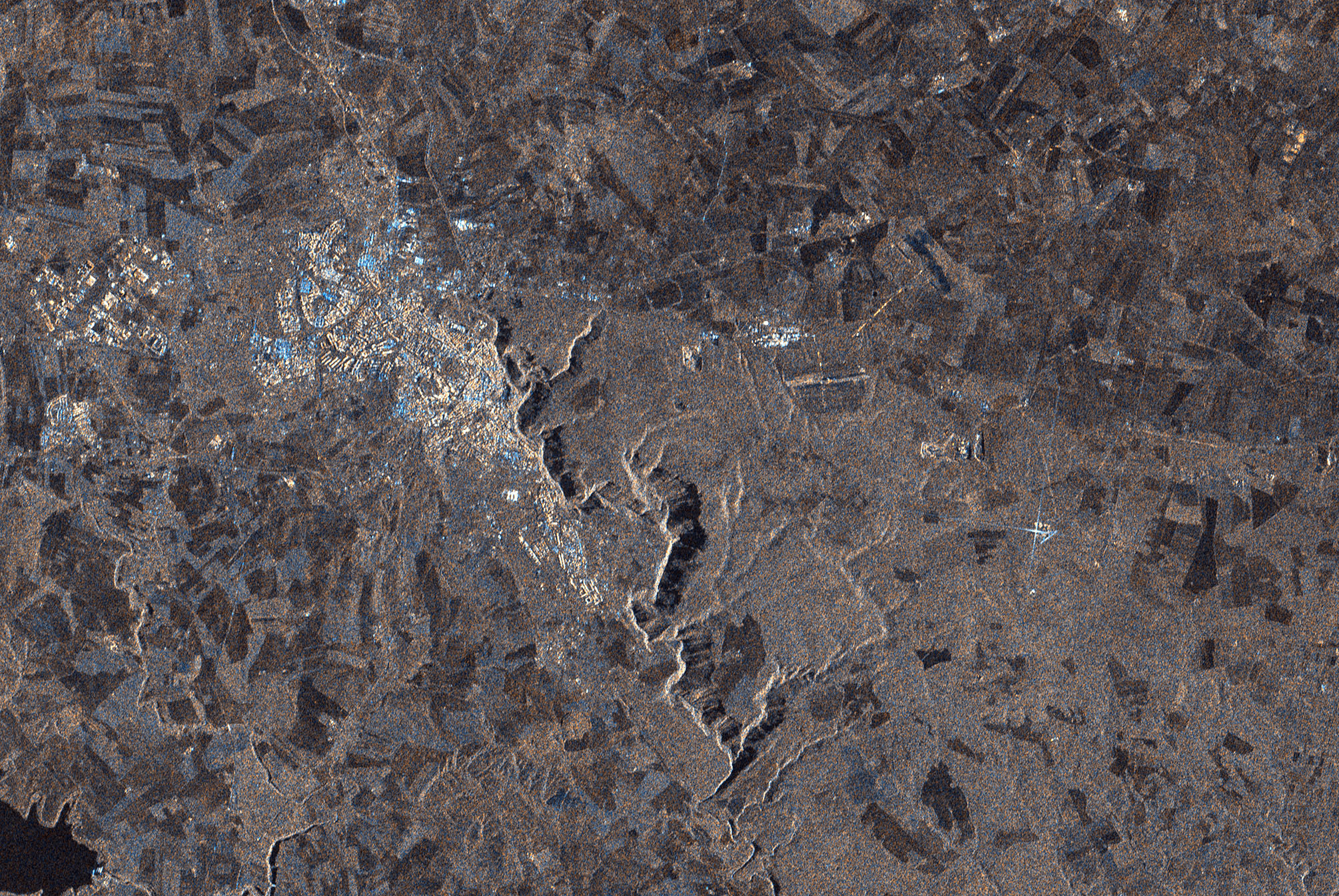
The system includes a space segment and a ground segment. The space segment is made up of a constellation of satellites equipped with high-resolution SAR (synthetic aperture radar) sensors operating in the X-band and equipped with a highly flexible and innovative data acquisition and transmission system. The ground segment is made up of infrastructures for the management and monitoring of the entire constellation and for the reception, storage, processing and distribution of products.
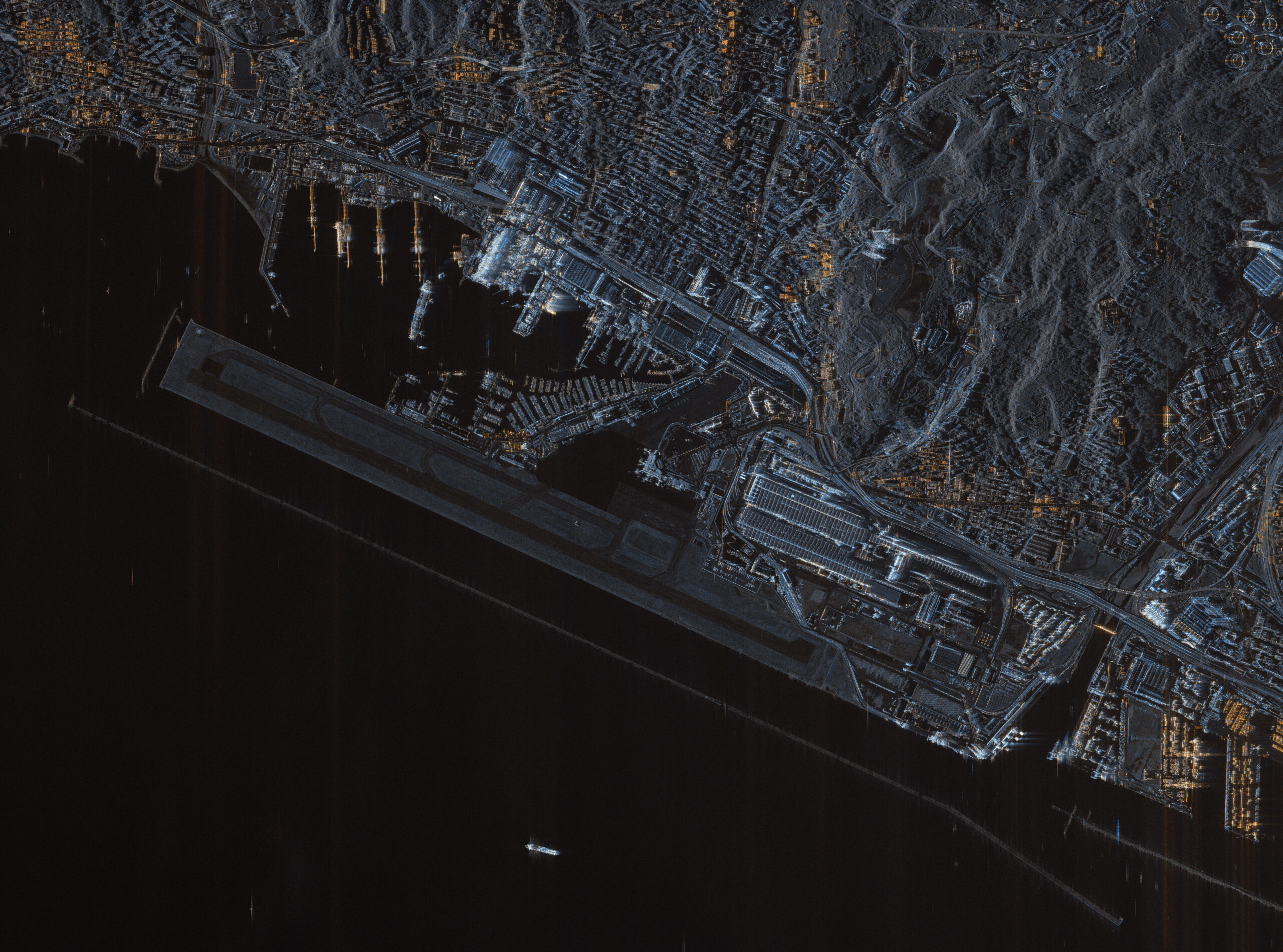
The real strength of COSMO-SkyMed is the extraordinary flexibility of use. The radar eye can operate in spotlight (focusing on an area of few square kilometers and observing it with a resolution down to the meter), stripmap (observing a continuous strip of land surface) or scanSAR mode (covering an area of 200 km on each side). The response times, that is the time required to configure the constellation in order to obtain images of the desired area, are also very short. Another strength is the short review time (the interval between two passes over the same point), which allows to constantly monitor the evolution of the situation in a specific area.
COSMO-SkyMed allows a global coverage of our country by operating in any weather and lighting conditions (day/night) and offers geolocated images with high spatial resolution and short response times.
Examples of applications
COSMO-SkyMed is capable of providing, on a global scale, fully innovative information for the study and monitoring of the environment. The peculiar characteristics of the constellation and ground segment, the high quality of products and their integrability with data of different nature (satellite or non-satellite data) enable an increasing number of applications, with specific reference to the prevention, monitoring and management of natural and anthropic risks. The possibility to quickly modify the planning of acquisitions based on the requests by the end user, the operation in any weather and lighting conditions, the short review intervals (of a few hours) and the delivery of products processed in quick time make COSMO-SkyMed particularly suitable to provide important information, especially during crisis stages, to those who plan and perform assistance and relief operations and those who are in charge of damage assessment.
The prevention and management of environmental disasters
The data and products provided by the COSMO-SkyMed system are a valid and important tool to conduct studies on the reasons and the precursor phenomena of environmental disasters and to improve capabilities in terms of damage monitoring and assessment in the case of, for example, landslides, floods, and volcanic eruptions. The continued observation over time, day and night, of a given area, even in cloudy conditions, allows to assess the surface deformations of the territory and provide a new and valid prevention and monitoring tool to the bodies responsible for risk management.
The monitoring of oceans and coasts
The COSMO-SkyMed satellites allow to obtain continuous and accurate information on the status of coasts, seas and internal waters, to assess coastal erosion and pollution phenomena. Furthermore, the system represents a valid help to monitor maritime traffic.
The monitoring of agricultural and forest resources
The COSMO-SkyMed satellites ’ability to use horizontally or vertically polarized signals, both in transmission and in reception, allows to improve land classification and crop monitoring during the growth cycle, also in order to optimize crops. The possibility to monitor the forest heritage, whose destruction causes significant damages to the quality of air and to the planet Earth, is particularly interesting.
The monitoring of buildings
The high geometric accuracy of COSMO-Skymed’s images and the high spatial and temporal resolution offer a powerful tool to monitor the presence of new settlements or works or situations of subsidence of the ground or subsoil which can frequently cause structural failure or collapse.
Cartography
Thanks to the characteristics of the images provided by the COSMO-SkyMed system, it will be possible to create a new, high-resolution technical and thematic cartography. The creation of a three-dimensional, high-precision digital model of the soil, that can be used in several applications, is of particular significance.
International agreements
The manufacturing of COSMO-SkyMed has already allowed Italy to sign important international agreements in the field of Earth observation, for both civil and military purposes, in particular with France and Argentina. The ASI is currently working with the latter country, in the civil sector, to create the SIASGE system (Italian-Argentinian satellite system for Disaster Management), born in 2005 from an agreement between the ASI and its Argentinian counterpart (CONAE).